Field Surveying
DGPS Survey
Training at THL in Bhubaneswar.
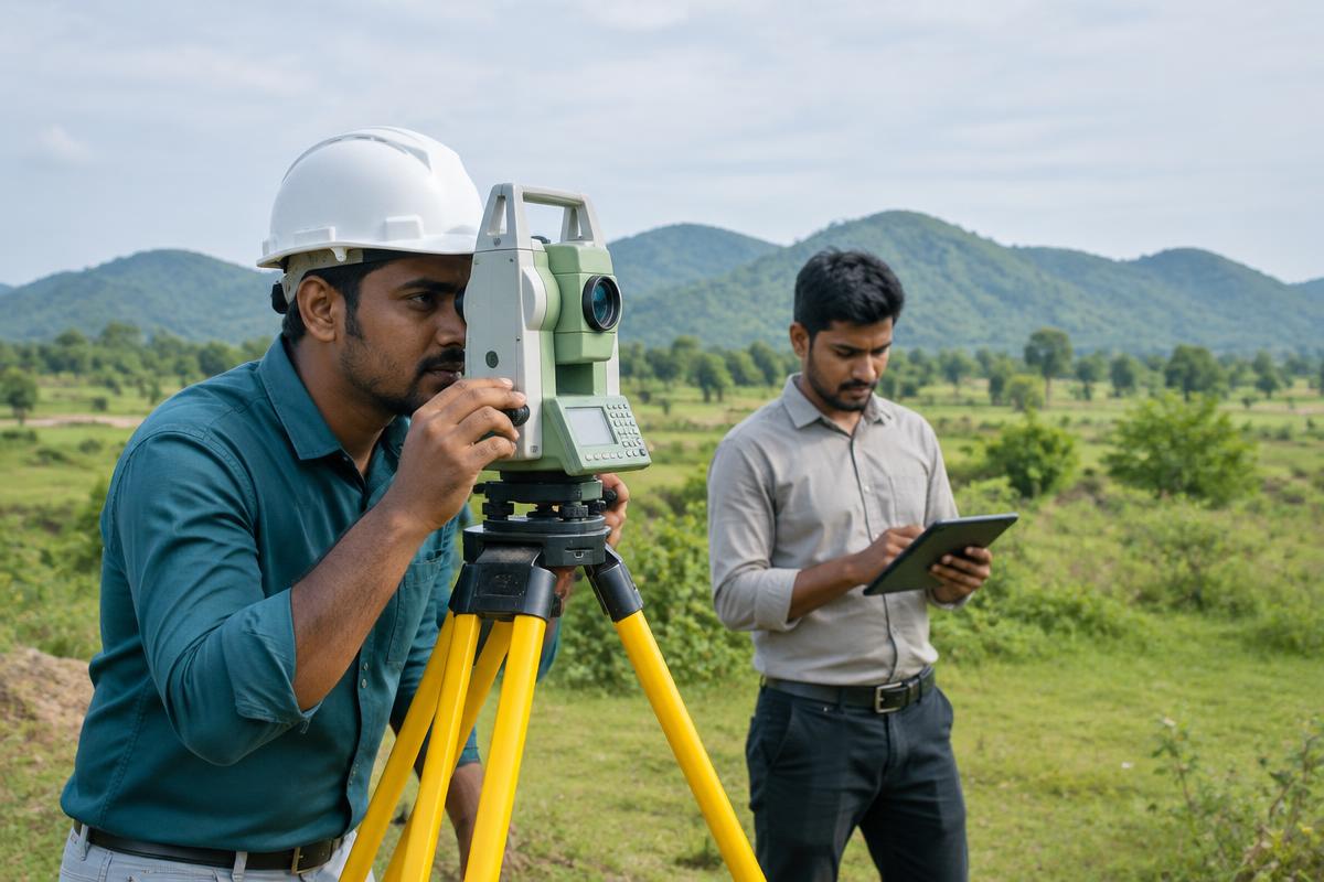
DGPS training covers centimetre-level ground positioning with a base and rover. It includes real-time kinematic work, post-processing and exporting points into a map or drawing.
Syllabus
- Explain GNSS, error sources and why a correction is used
- Set up a base and a rover
- Collect points with RTK and with post-processing
- Establish control and record a short traverse
- Work in the right coordinate system and datum
- Download, check and edit the observations
- Export points for CAD or GIS
Tools
DGPS
All courses