
Field Surveying
Drone Survey
Training at THL in Bhubaneswar.
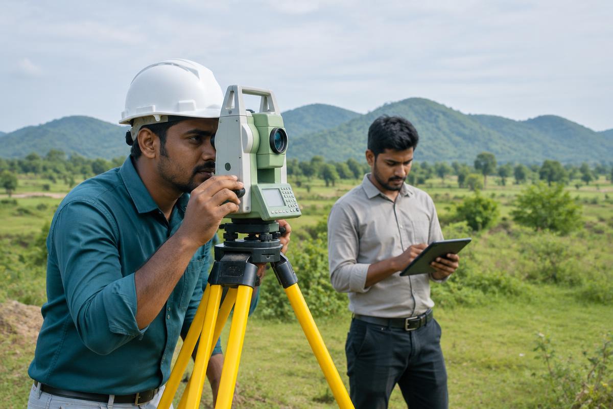
Drone survey training covers planning a flight, capturing overlapping photos and turning them into a map. Outputs include an orthomosaic, a surface model and simple area or volume measurements.
Syllabus
- Plan a mission, overlap and ground control
- Follow safe field practice and keep field notes
- Capture survey photographs from a planned flight
- Process images with structure-from-motion photogrammetry
- Produce an orthomosaic and a digital surface model
- Measure areas and volumes from the model
- Bring the result into GIS or CAD
Tools
Drone
All courses